About this Collection
Marker Maps
Bill Segars & Guy Wallace
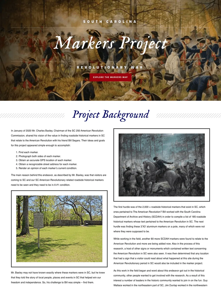
History didn’t happen in books, it happened across the state and that’s exactly what this project aims to highlight. While you might see a historical marker when driving down the road, locating a specific one can be difficult. The Marker Map Project systematically collected the location, image, and related historical references in South Carolina. You can use the marker map to learn more about what happened in a specific area or plan a road trip to various historical locations.
Scope of collection:
The Marker Map includes the geographic location, sign and site images, text, condition, and other information regarding historical markers in the state of South Carolina.
Location of Collection or How to Use:
Follow the link on this page to access the Marker Map. Laid out over a Google Map interface, you can browse, zoom in and out, and click on each marker to learn more.
This collection is useful for historians and travelers wanting to visit specific sites of interest and walk where history happened.


Preserve Their Legacy
Our History Matters.
Their stories are our stories. Donate today to support our work to preserve, protect and promote (into perpetuity) the stories, artifacts and history of South Carolina’s role in the American Revolution.

